Rusape is a town located in Makoni District, Manicaland Province, in northeastern Zimbabwe.
Situated approximately 170 kilometres southeast of Harare, the capital of Zimbabwe, it lies on the main road (Highway A-3) connecting Harare and Mutare.
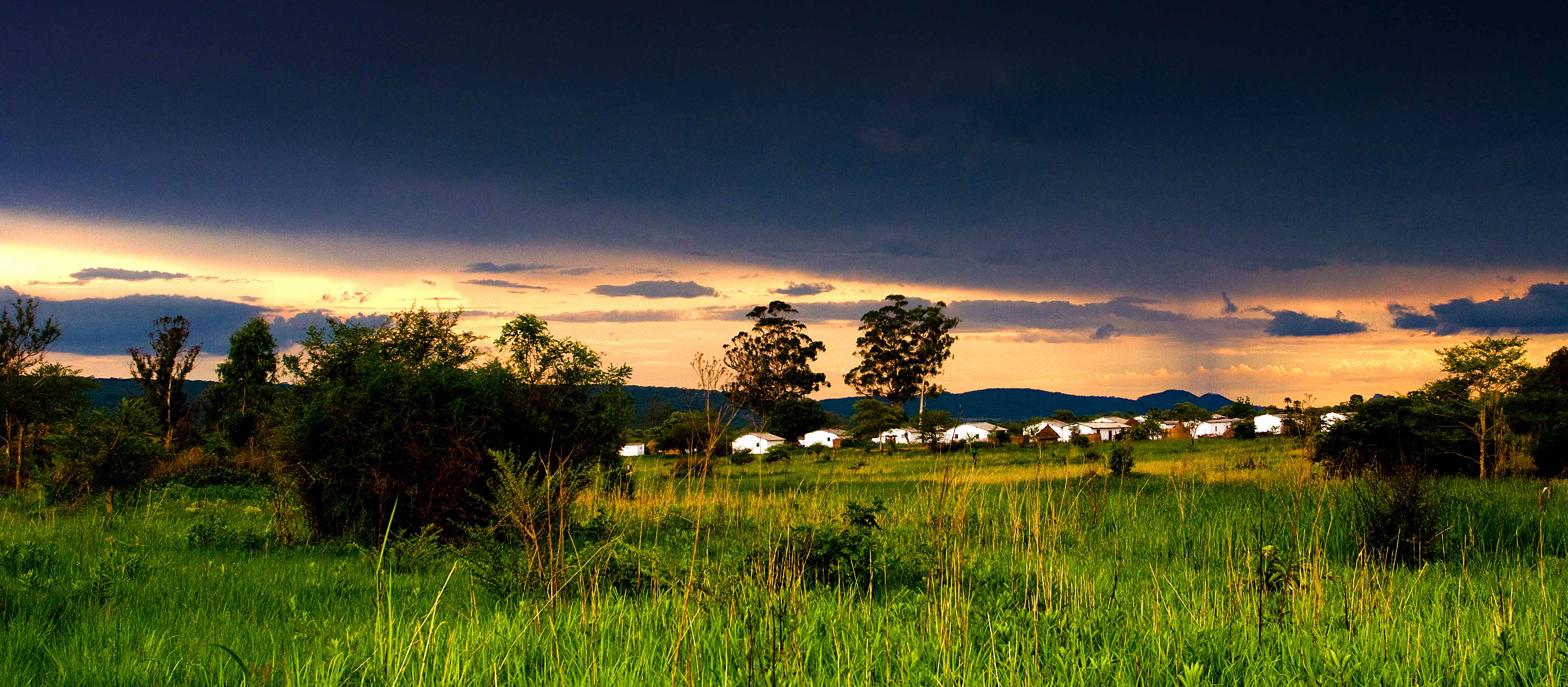
 Picture credits to X @ World Wide Elevation
With an altitude of 4,610 feet above sea level, Rusape boasts a diverse landscape, featuring areas of low and high-density population, suburbs like Vengere and Mabvazuva, as well as historical sites like Tsanzaguru.
ALSO READ: https://zimprofiles.com/exploring-bindura-mashonaland-central/
Name Origin
The name “Rusape” is derived from “rusapwe,” meaning “may it never dry.” This name references the ever-flowing waters of the Rusape River, which runs adjacent to the town.
The significance lies in the absence of other perennial streams in the vicinity, making the continuous flow crucial for the community.
History of the Area
Rusape’s history traces back to 1894 when a British South Africa Company post was established on the Rusape River.
During the First Chimurenga in 1896, the village around the post faced an attack by Chief Mangwende. Notably, Chief Chingaira Makoni was beheaded by the British during this period.
Additionally, Rusape played a role in World War II, hosting over 700 Polish refugees escaping Soviet-occupied Poland.
Geographical Location
Located in Makoni District, Rusape sits strategically on Highway A-3, connecting Harare and Mutare. The town’s expansion includes areas such as Vengere and Silverbow, contributing to its diverse landscape.
Rusape is a town in Manicaland Province, Zimbabwe, about 180 kilometres southeast of Harare, the capital city. It lies on the Save River, a major tributary of the Sabi River.
Here are Rusape’s geographical details:
- Latitude: -18.533° South (18° 32′ 0″ S)
- Longitude: 32.117° East (32° 7′ 0″ E)
- Region: Manicaland
- District: Makoni
- Altitude: 762 meters (2,500 feet) above sea level
- Nearest major city: Mutare (70 km northeast)
- Other nearby towns: Chipinge (70 km south), Nyazura (30 km west)
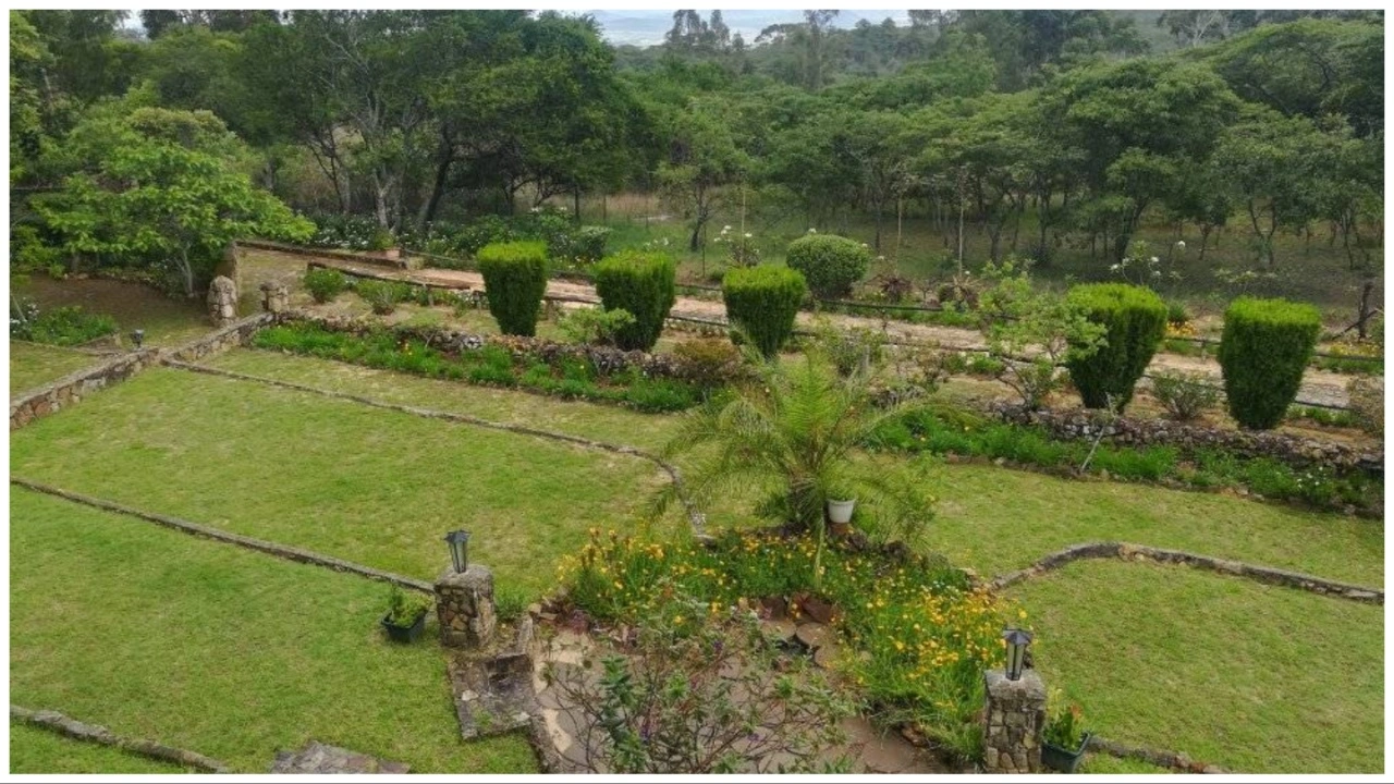
Places to Visit
picture credit to Zim Locals
Notable suburbs in Rusape include Vengere, Mabvazuva, and Magamba Township. Tsanzaguru, with its rocky hills, holds significance in the town’s history, reflecting the Rozvi people’s aspirations to build to the moon.
ALSO READ: https://zimprofiles.com/marondera-a-comprehensive-guide-to-zimbabwes-historic-town/
Culture
The cultural fabric of Rusape is woven with religious influences, with Christianity being the dominant faith.
Churches play a significant role in the community, and the coexistence of African religions within various Christian denominations reflects a blend of indigenous and introduced belief systems.
Weather
Rusape experiences a moderate climate with mean daily maximum temperatures ranging from 20.0 to 27.3 °C and mean daily minimum temperatures ranging from 4.8 to 15.3 °C.
The average annual rainfall is 781.2 mm, distributed across 67 rainy days.
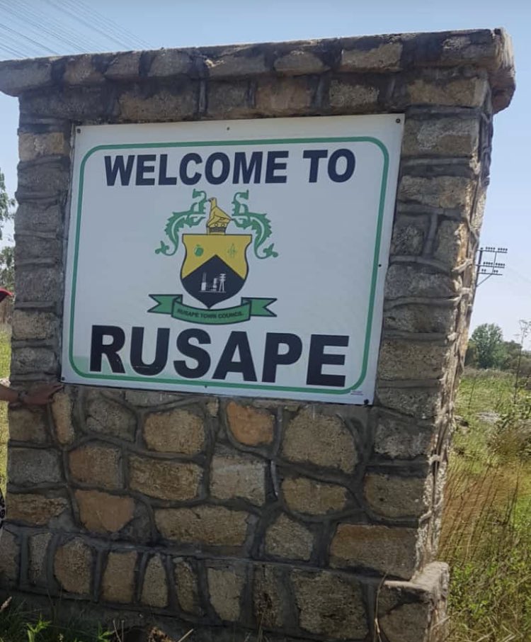
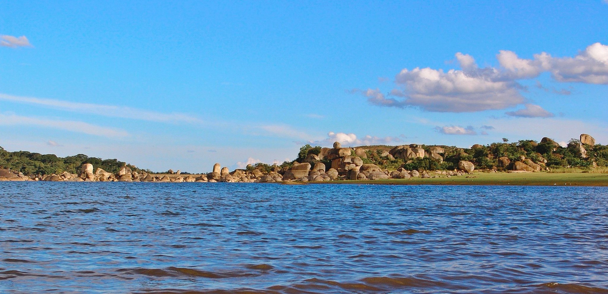
 picture credit to X @ Taku
Schools
Rusape boasts several schools, including primary schools like Mount Carmel Primary School and secondary/high schools like Vengere High School.
Colleges such as Destiny College and Watermark College contribute to the town’s educational landscape.
Trivia
Former Zimbabwean Cricketer Kevin Curran hails from Rusape, adding a sports connection to the town’s identity.