Mwenezi, Zimbabwe: A Deep Dive into Southern Beauty
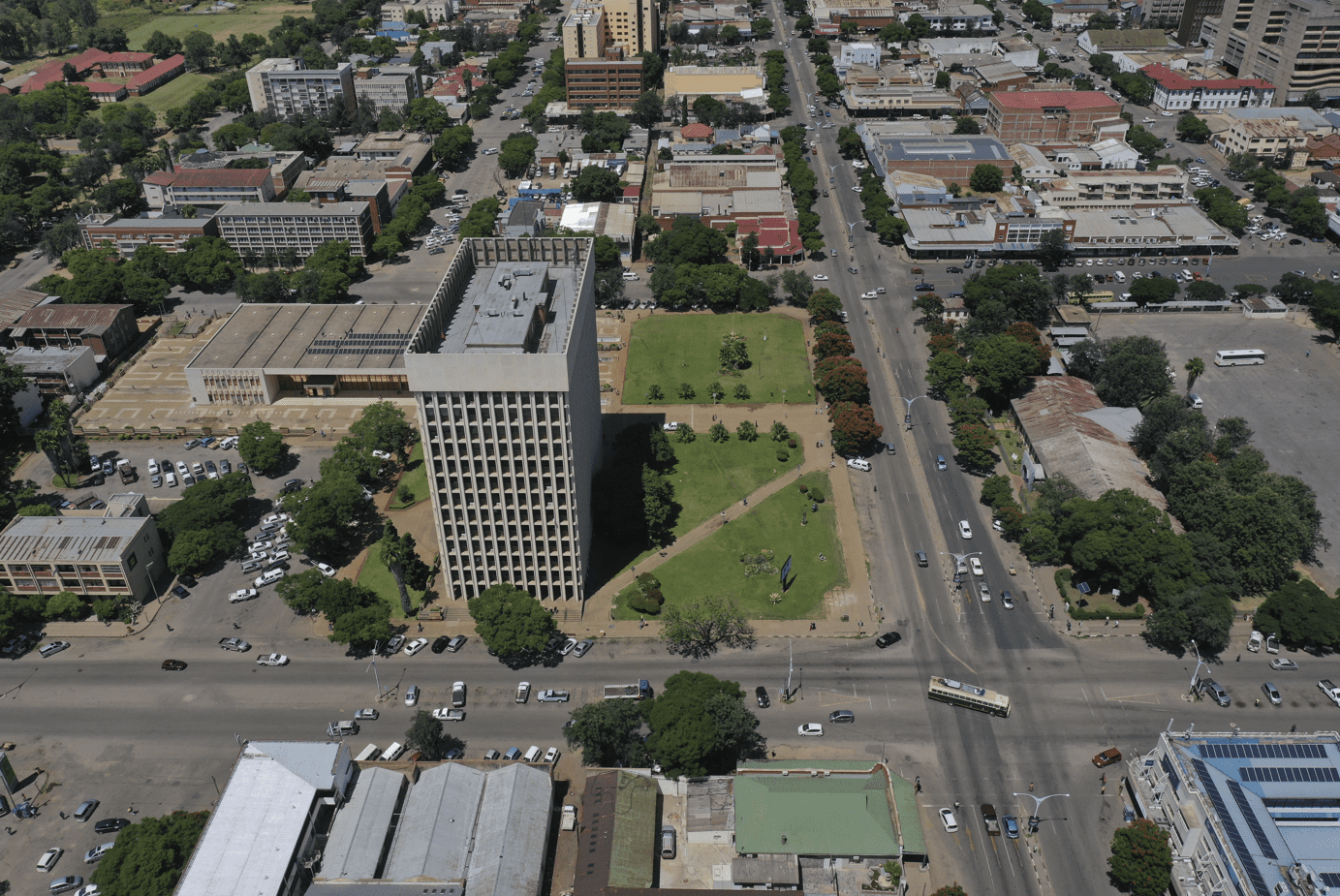
Mwenezi, originally identified as Nuanetsi, stands as a petite district nestled in the southern reaches of Zimbabwe. It finds itself intersected by both the Mwenezi River and the A4 highway, a pivotal route linking Beitbridge, situated at the South African border, to Masvingo.
The Weather in Mwenezi
Located at an elevation of None meters (0 feet) above sea level, Mwenezi has a Subtropical steppe climate (Classification: BSh). The district’s yearly temperature is 22.07ºC (71.73ºF) and it is -0.66% lower than Zimbabwe’s averages. Mwenezi typically receives about 55.9 millimeters (2.2 inches) of precipitation and has 89.42 rainy days (24.5% of the time) annually.
Location and GPS Coordinates of Mwenezi
Situated in the Masvingo Province, Mwenezi’s approximate GPS coordinates are: latitude: -21.5000, longitude: 31.0000. The town’s strategic location provides access to neighboring districts, contributing to its significance within the region.
History of Mwenezi
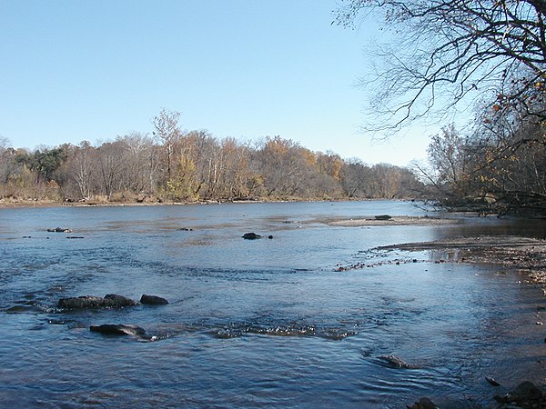
The nomenclature “Mwenezi” is drawn from the Mwenezi River, a crucial water source irrigating sugarcane plantations in and around the Rutenga Business Center. While the police station aligns with the highway, the central administrative offices are positioned at the Neshuro Business Center, although the specific location is not specified. The climate in Mwenezi remains consistently hot and arid, with intermittent rainfall during the summer months. As of 2002, the district, known for its susceptibility to droughts, recorded an estimated population of 126,000, reflecting an increase of 25,000 from the drought-stricken year of 1992.
Mwenezi occupies natural regions four and five, with a notable predisposition to droughts and a low mean annual rainfall. The district’s households heavily rely on agricultural activities, particularly livestock rearing. The limited rainfall has spurred a noticeable shift toward livestock farming, with a focus on cattle and goats. However, a significant portion of households laments their inability to restock since the challenging drought of 1992.
This narrative encapsulates Mwenezi’s unique geographical and climatic characteristics, emphasizing its resilience in the face of environmental challenges while shedding light on the community’s adaptive strategies for sustainable livelihoods.
Also Read: Exploring Tsholotsho: A Comprehensive Journey into History and Culture
Size & Population of Mwenezi
As per the latest census data, Mwenezi spans an area of 15.85/km² with a population of 209,327. The town’s growth and population dynamics reveal insights into its socioeconomic landscape.
Distance from Harare City Centre to Mwenezi
For those planning a visit, Mwenezi is approximately 465 kilometers from the vibrant Harare City Centre. The journey to Mwenezi unfolds a scenic route showcasing the diversity of Zimbabwe’s countryside.
Travel Time from Mwenezi to Harare
The travel time from Mwenezi to Harare varies based on the chosen mode of transportation. By road, the journey typically takes 6-7 hours, offering travelers an opportunity to explore the country’s heartland.
Mwenezi, Zimbabwe | Mwenezi River
Distance from Mwenezi to Mutare
Mwenezi is a bit far from Mutare, another prominent Zimbabwean city. The distance between Mwenezi and Mutare is approximately 467 kilometers, facilitating long travel between the two locations.
Travel Time from Mwenezi to Mutare
Traveling from Mwenezi to Mutare can be accomplished through various means, each providing a unique travel experience. The estimated travel time by car is 6-7 hours.
Mwenezi Rural Council Contact Details
For inquiries and local governance matters, the Mwenezi Rural District Council can be contacted at:
- Phone: +263 77 356 3643
Local authorities play a pivotal role in ensuring the town’s infrastructure and services meet the needs of its residents.
Schools in Mwenezi
Education is a cornerstone in Mwenezi, with several schools catering to the educational needs of the local population. Notable institutions include:
- Mwenezi Primary School
- Mwenezi High School
- Dinhe Primary School
- Dinhe Secondary School
- Magwerune Primary School
- Magwerune Secondary School
- Makawire Primary School
- Makawire Secondary School
- Matande Primary School
- Matande Secondary School
- Mazatese Primary School
- Mazatese Secondary School
- Mukume Secondary School
Colleges and Universities in or Near Mwenezi
Higher education options are within reach, with Mwenezi Center of Learning providing diverse academic opportunities for the residents of Mwenezi.
Lodges in Mwenezi
For those seeking accommodation, Mwenezi boasts a few lodges offering comfortable stays.
- Manyuchi Lodge
- Awelani Lodge
- Ngundu Rockey Motel
- Lion & Elephant Motel
Things to Do in Mwenezi
Mwenezi’s charm extends beyond its borders, offering a myriad of activities for visitors. Whether exploring the natural reserves, immersing in local culture, or enjoying outdoor adventures, Mwenezi has something for everyone.
Trivia
As a fun addition, here is some interesting trivia about Mwenezi:
- Mwenezi was named after the Mwenezi River which provides irrigation water for Rutenga Business Center and the surrounding sugar plantations.